A practical Patagonia airports guide: every gateway with IATA codes, the town each serves, who flies there, onward transfers and open-jaw routing tips.
By Patagonia Tourism Guide · First published 16 Sep 2026 · Updated 27 Sep 2026
0 — 2 km Fig. 1 · Comandante Armando Tola International Airport at El Calafate, a key Patagonia airport for the glaciers · Photo: Sicnag / CC BY 2.0 via Wikimedia Commons
The first time I flew into El Calafate, I spent the descent with my forehead against the window watching Lago Argentino turn an unreal milky turquoise, and I remember thinking the hard part was over. It wasn’t. I’d booked the cheapest flight into the wrong airport for half my trip, and I paid for it in long bus days. That mistake is the whole reason this guide exists.
Here is the short version. There is no single Patagonia airport. The region is the size of a country and a half, split between Argentina and Chile, and the Patagonia airports that matter most are El Calafate (FTE) for the glaciers, Ushuaia (USH) for the far south, Bariloche (BRC) for the lakes, Trelew (REL) for the whales, and Punta Arenas (PUQ) for Torres del Paine. Pick the airport that fits your route, not the cheapest fare.
This guide is for the traveler who has roughly decided what they want to see in Patagonia and now needs to translate that into the right airport, the right airline, and a sane plan for getting from the runway to where they’re actually sleeping. I’ll name every gateway, give you the IATA code, tell you who flies there and where the planes come from, and explain how you get into town once you land. Where I quote a price, a drive time, or a schedule, treat it as a pattern and verify before you book, because South American aviation and Argentina’s exchange rate both move fast.
If you only take one principle from me, take this: choose your route first, then your airport. Patagonia punishes people who do it the other way around.
The main Patagonia airports at a glance
Before the detail, here’s the whole map in one table. This is the cheat sheet I wish someone had handed me, because the single most common planning error is assuming “fly to Patagonia” is one decision. It’s really nine or ten separate ones, and the right answer depends entirely on which Patagonia you mean.
Airport
IATA
Town / region served
Main airlines
Onward transfer
El Calafate (Comandante Armando Tola)
FTE
El Calafate, Perito Moreno Glacier, El Chaltén
Aerolíneas Argentinas, JetSMART, Flybondi
Shuttle/taxi ~20 min to town; bus to El Chaltén ~3 h
Ushuaia (Malvinas Argentinas)
USH
Ushuaia, Tierra del Fuego, Beagle Channel
Aerolíneas Argentinas, JetSMART, Flybondi, LATAM
Taxi/transfer ~10–15 min to town
Bariloche (Tte. Luis Candelaria)
BRC
Bariloche, Nahuel Huapi, Seven Lakes
Aerolíneas Argentinas, JetSMART, Flybondi
Bus/taxi/transfer ~20–30 min to town
Trelew (Almirante Zar)
REL
Puerto Madryn, Península Valdés, Punta Tombo
Aerolíneas Argentinas, JetSMART
Shuttle/transfer ~60 min to Puerto Madryn
Comodoro Rivadavia (Gen. Mosconi)
CRD
Central Atlantic coast, southern oil towns
Aerolíneas Argentinas, JetSMART
Taxi/transfer; long onward drives
Esquel (Brigadier Crespo)
EQS
Esquel, Trevelin, Los Alerces
Aerolíneas Argentinas (limited)
Taxi/transfer ~20 min to town
Punta Arenas (Pdte. Carlos Ibáñez del Campo)
PUQ
Punta Arenas, Puerto Natales, Torres del Paine
LATAM, Sky Airline, JetSMART, DAP
Bus to Puerto Natales ~3 h; taxi ~20 min to city
Balmaceda
BBA
Coyhaique, Aysén, central Carretera Austral
LATAM, Sky Airline, JetSMART
Shuttle/van ~45–60 min to Coyhaique
Puerto Natales (Tte. Julio Gallardo)
PNT
Puerto Natales, Torres del Paine
LATAM, Sky Airline (seasonal)
Taxi/transfer ~10 min to town
Puerto Montt (El Tepual)
PMC
Puerto Montt, Chilean lakes, northern Carretera Austral
LATAM, Sky Airline, JetSMART
Taxi/bus ~20 min to city
Swipe to see all columns
Table 1
A few honest notes on that grid before we go airport by airport.
Almost everything on the Argentine side connects through Buenos Aires, and almost everything on the Chilean side connects through Santiago. There are very few useful cross-border or interregional flights, so you usually fly south from a capital, not sideways between two scenic towns. Many of these are seasonal or thin routes, which means a flight that exists in January may not exist in June. Always confirm the route is operating on your dates before you build a plan around it. For the wider picture of how flights, buses, cars, and ferries fit together, our pillar on how to get to and around Patagonia is the place to start.
How Patagonia airports are organized: two countries, two capitals
Patagonia gets much simpler once you stop seeing it as one circuit and start seeing it as two national networks that happen to share a mountain range.
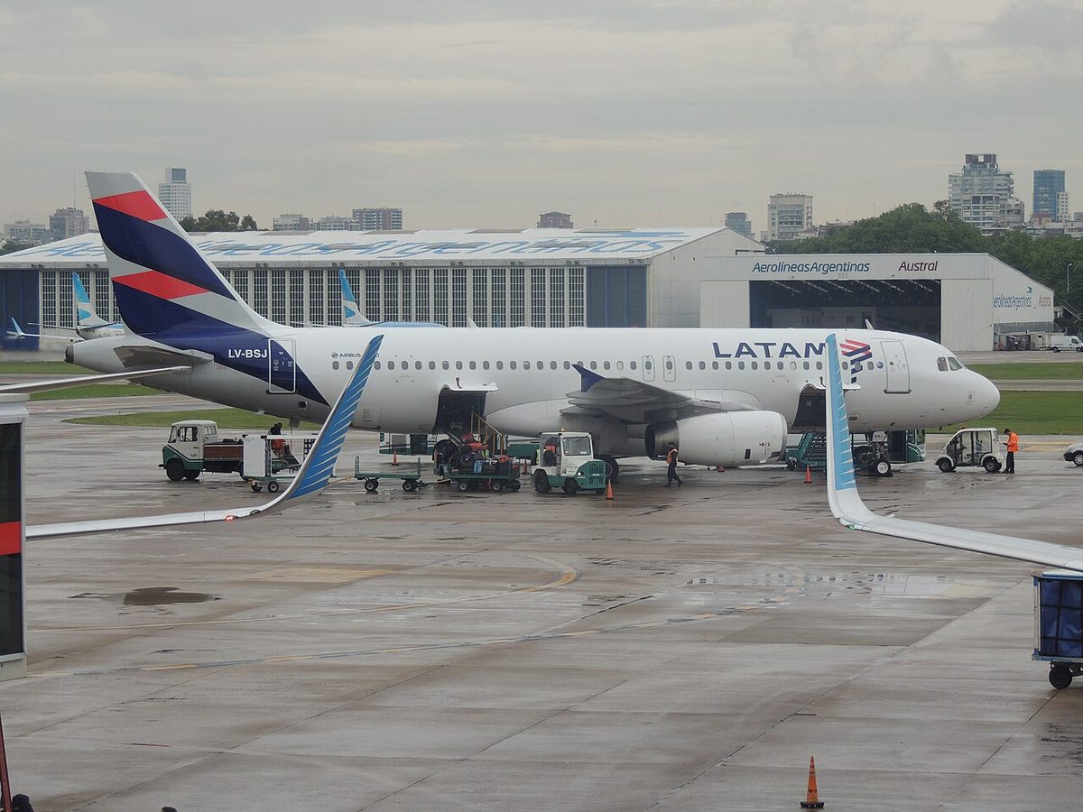
On the Argentine side, the hub is Buenos Aires. International flights generally land at Ezeiza (EZE), while most domestic Patagonia flights leave from the city-center airport, Aeroparque (AEP). That airport split trips up a lot of first-timers, so I’ll say it plainly: do not assume your overseas arrival and your Patagonia departure use the same Buenos Aires airport. If you have to cross the city between them, give yourself hours, not minutes, or better yet a night. Our guide to going from Buenos Aires to Patagonia walks through that handoff in detail.
On the Chilean side, the hub is Santiago (SCL). Every southern gateway worth naming, Punta Arenas, Puerto Natales, Balmaceda, and Puerto Montt, hangs off Santiago by domestic flight. Our companion piece on getting from Santiago to Patagonia covers the connection times and the open-jaw tricks that make Chilean Patagonia easier.
The practical upshot is that your very first decision isn’t really an airport at all. It’s a country. If your trip is mostly glaciers, lakes, whales, and Tierra del Fuego, you’re an Argentina-via-Buenos-Aires traveler. If it’s mostly Torres del Paine, the fjords, and the Carretera Austral, you’re a Chile-via-Santiago traveler. Cross-border trips exist and are common, but they’re a separate skill, and I’ll come back to them.
Argentine Patagonia airports, airport by airport
Argentina’s Patagonia gateways spread across a vast arc, from the northern lake district down to the bottom of Tierra del Fuego. Here’s each one, who flies there, and how you get out of the terminal.
El Calafate (FTE): the glacier gateway
If there’s a single most important airport in southern Patagonia, this is it. Comandante Armando Tola International Airport, code FTE, is the gateway to Perito Moreno Glacier, the wider Los Glaciares region, and the trailhead town of El Chaltén. For most first-time southern Patagonia trips, this is the airport that unlocks everything.
The carriers are the three Argentine workhorses: Aerolíneas Argentinas, JetSMART, and Flybondi, almost all of it domestic and most of it routed through Buenos Aires, with some seasonal links to Córdoba, Ushuaia, and Bariloche. Verify current routes, because the low-cost carriers add and drop seasonal services without much warning.
The airport sits roughly 23 km east of town, around a 20-minute drive. There’s no scheduled city bus, so you’ll take a shared shuttle that meets flights, an official taxi from the rank outside arrivals, a private transfer, or a rental car. From El Calafate, the onward bus to El Chaltén runs about three hours; book it the same way you’d book any peak-season seat, early. For the deeper dive on this specific hub, including which side of the terminal the shuttles wait, see our dedicated flying into fte airport guide. If your next move is the cross-border hop to Chile, our notes on crossing the border to El Calafate cover the route in reverse.
Ushuaia (USH): the end of the world
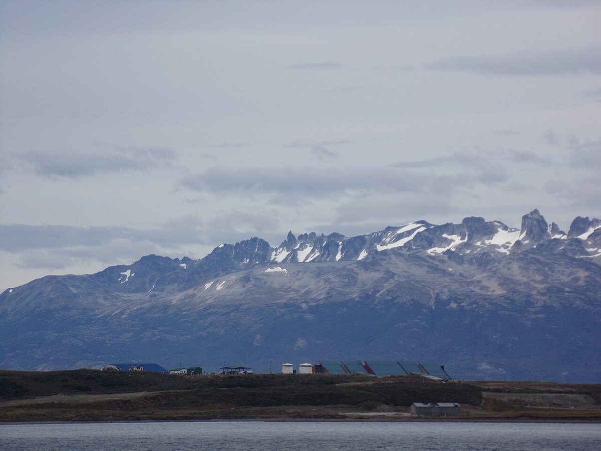
Ushuaia–Malvinas Argentinas International Airport, code USH, is the southernmost commercial airport most travelers will ever use, and it serves Tierra del Fuego National Park, the Beagle Channel, and a big share of Antarctica departures. The official airport lists five operators: Aerolíneas Argentinas, Flybondi, JetSMART, LADE, and LATAM, with Aerolíneas running the lion’s share of flights and Buenos Aires by far the busiest route.
The good news on the ground: the airport is only a few kilometers from downtown, a 10-to-15-minute taxi or transfer, so once you land you’re in town fast. The thing to understand about USH is that it’s far south of everything else. Treat it as its own flight leg, fly in and fly out, rather than trying to thread it overland into a short trip. There is a direct Ushuaia–El Calafate flight that makes a glacier-plus-Tierra-del-Fuego combination genuinely workable, which is one of the better routings in all of Patagonia if your time is tight.
Bariloche (BRC): the lake district
San Carlos de Bariloche Airport, formally Teniente Luis Candelaria and code BRC, is the front door to the northern Argentine lake district: Nahuel Huapi, the Circuito Chico, Villa La Angostura, and the Seven Lakes road. This is a completely different Patagonia from the southern ice, greener, more alpine, more about lakes and chocolate shops than glaciers and trekking.
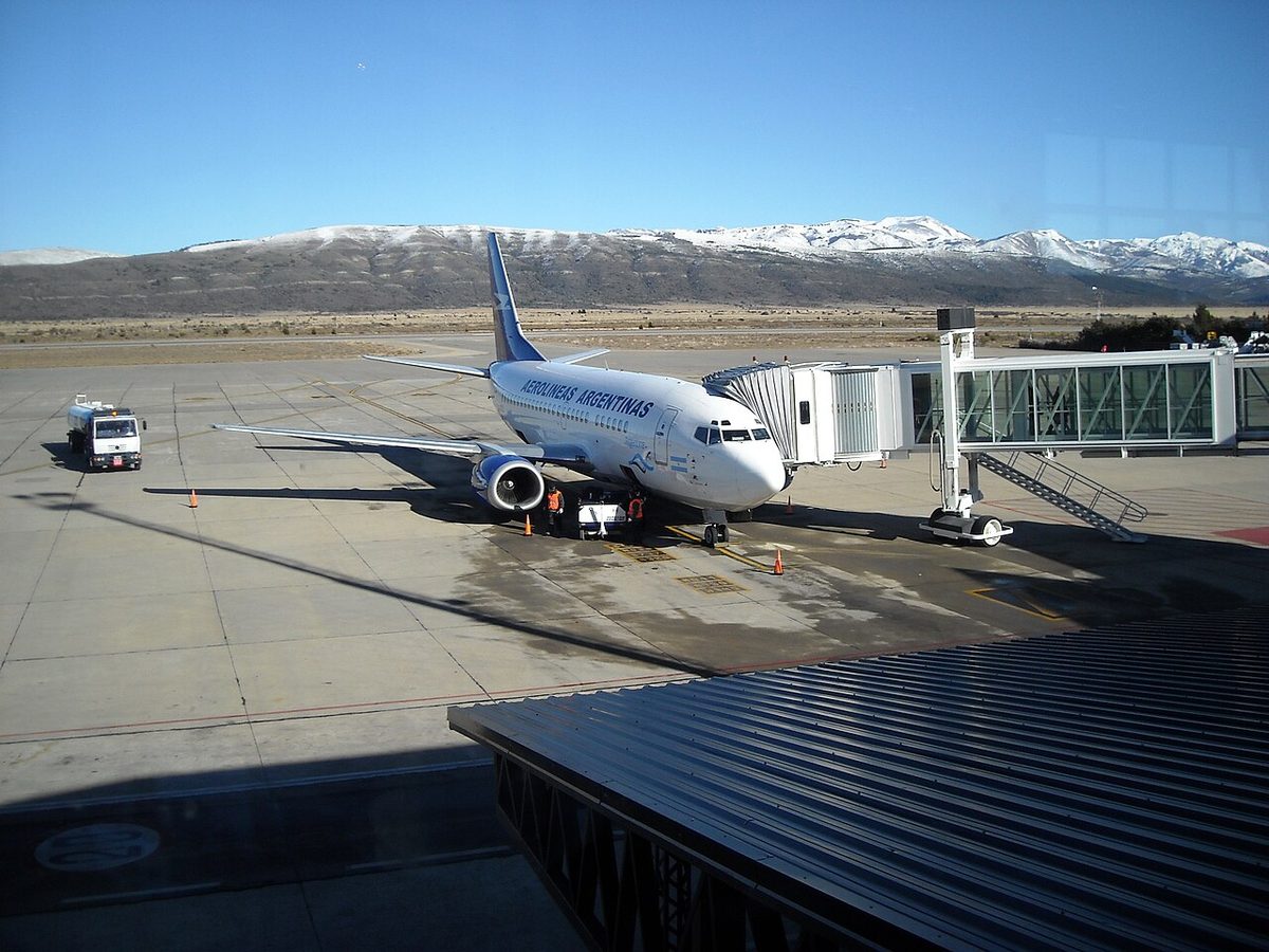
It’s one of the better-served Patagonia airports, with Aerolíneas Argentinas, JetSMART, and Flybondi all flying in, plus seasonal links beyond Buenos Aires to places like Córdoba and Mendoza. The airport is about 20 to 30 minutes from the town center by taxi, transfer, or local bus. The one thing I’ll repeat from our pillar: do not fly to Bariloche for a southern glacier trip, and do not fly to El Calafate for the lakes. They are roughly 1,500 km apart and belong to different itineraries.
Trelew (REL) and the whale coast
For the Atlantic wildlife coast, the workhorse airport is Trelew, Almirante Zar, code REL. It’s the practical gateway to Puerto Madryn, Península Valdés, and the great Magellanic penguin colony at Punta Tombo. The carriers here are Aerolíneas Argentinas and JetSMART, mostly via Buenos Aires, with some links to El Calafate and Ushuaia.
Trelew sits about an hour’s drive from Puerto Madryn, the main wildlife base, so plan a shuttle or transfer for that leg rather than expecting to step off the plane into the action. There is a smaller airport right at Puerto Madryn itself (El Tehuelche, PMY) with thinner service, so most travelers end up using Trelew simply because the flights line up better. If whales are your reason for coming, check the season first, then the flights, in that order.
Comodoro Rivadavia (CRD) and Esquel (EQS): the in-between hubs
Two more Argentine airports round out the picture, and both are niche.
Comodoro Rivadavia, General Mosconi, code CRD, is a busy regional and business airport on the central coast, served by Aerolíneas Argentinas and JetSMART. It’s less a tourist gateway than a connector for the oil towns and the central steppe, but it can be useful if you’re stitching together a longer Atlantic-coast or Ruta 40 route and need a southern foothold.
Esquel, Brigadier Crespo, code EQS, is a small airport in the Andean foothills serving Esquel, Trevelin, and Los Alerces National Park, with limited Aerolíneas Argentinas service that thins out badly in the off-season. It’s lovely and quiet, and exactly the kind of route you must verify is operating before you build a plan on it. The town center is a quick 20-minute hop from the terminal.
Chilean Patagonia airports, airport by airport
Chile’s Patagonia is narrower and more vertical, strung along fjords and the spine of the Andes, and its airports reflect that. Here’s the southern Chilean lineup.
Punta Arenas (PUQ): the southern Chilean workhorse
Presidente Carlos Ibáñez del Campo International Airport, code PUQ, is the main gateway to southern Chilean Patagonia and the practical launch point for Torres del Paine when Puerto Natales flights don’t suit your dates. The airport’s own live boards are dominated by LATAM out of Santiago, with Sky Airline, JetSMART, and DAP (the regional carrier that flies the short hops to Puerto Williams and Porvenir) filling in the rest. It’s a genuine international gateway, not a backwater.
The airport sits at roughly kilometer 20 of Route 9 North, about a 20-minute drive from the city. The move most Torres del Paine travelers make is to skip the city entirely and catch a direct bus north to Puerto Natales, around three hours, with operators like Bus-Sur timing services to flight arrivals. Don’t treat that bus as a failure or a detour; it’s simply the cost of using the bigger, better-connected airport. Our guide on the Punta Arenas to Puerto Natales leg covers the bus options and timings, and the broader how to get to Torres del Paine piece ties the whole approach together.
Puerto Natales (PNT): the Torres del Paine front door
Teniente Julio Gallardo Airport, code PNT, is the small airport right beside Puerto Natales, the trekking town for Torres del Paine. When it’s running, it’s a gift: you land within about 10 minutes of town and skip the long transfer from Punta Arenas entirely. Direct flights arrive from Santiago, a roughly three-hour leg, on LATAM and Sky Airline, with seasonal capacity that historically has included JetSMART in the high summer.
The catch is the word “seasonal.” Puerto Natales flights cluster in the summer trekking months and thin out or vanish in the shoulders, and even in season the schedule is lighter than Punta Arenas. So the honest planning rule is: if PNT flights line up with your dates and budget, grab them, because they save you hours. If they don’t, fly into Punta Arenas and take the bus without a second thought. A small travel tip I love from the local tourism board: on the way in, sit on the left side of the aircraft for the first glimpse of the Torres del Paine towers, and on the right for the return.
Balmaceda (BBA): the door to Aysén and the Carretera Austral
For central Chilean Patagonia, the airport is Balmaceda, code BBA, which serves Coyhaique and the heart of the Aysén region, the most efficient way into a shorter Carretera Austral trip. The carriers are LATAM, Sky Airline, and JetSMART, almost all from Santiago, on a flight of roughly three hours.
The airport is out on the steppe about 55 km from Coyhaique, a 45-to-60-minute drive, and the standard move is a shared shuttle van that meets flights, with taxis and rental cars also available. If you want the Marble Caves at Puerto Río Tranquilo, Cerro Castillo, and Patagonia National Park without driving the entire length of Route 7, Balmaceda is your airport. For the full road-trip context, see our Patagonia rental car guide before you commit to a self-drive.
Puerto Montt (PMC): the top of the Carretera Austral
El Tepual Airport, code PMC, sits at the northern edge of Chilean Patagonia and is the gateway to the Chilean lake district, Chiloé, and the top of the Carretera Austral. It’s one of the better-served airports in the south, with LATAM, Sky Airline, and JetSMART all flying in, mostly from Santiago but also on useful links to Balmaceda, Punta Arenas, and Puerto Natales.
The city is about 16 km from the terminal, a 20-minute drive. Use Puerto Montt if you want to drive Route 7 from the very beginning, or if you’re combining the Chilean lakes with the start of the Carretera Austral. If you only want the central Aysén highlights, Balmaceda is the smarter, shorter choice.
Now the part you actually came for: I’ll tell you where I’d fly for each major destination, and where I see people get it wrong.
Perito Moreno Glacier and El Calafate: fly into FTE. Nothing else is close.
El Chaltén and Fitz Roy: fly into FTE, then take the bus or a transfer; El Chaltén has no airport and is reached only by road, around three hours.
Torres del Paine: fly into PNT if the schedule fits, otherwise PUQ and take the bus to Puerto Natales.
Ushuaia and Tierra del Fuego: fly into USH, and treat it as its own leg.
Bariloche and the lakes: fly into BRC.
Whales, penguins, Península Valdés: fly into REL (or PMY if the flights work).
Carretera Austral, full or northern: fly into PMC.
Carretera Austral, central Aysén only: fly into BBA.
Punta Arenas, Isla Magdalena, Magellan Strait wildlife: fly into PUQ.
The destination that causes the most confusion is Torres del Paine, because it has two viable airports and a border in play. If you’re coming from the Chilean side, it’s a PNT-or-PUQ decision. If you’re already in Argentine Patagonia at El Calafate, the smarter move is often the overland crossing rather than backtracking to an airport at all. The second-most-confused destination is Ushuaia, which people keep trying to bolt onto short itineraries overland; resist it, and fly.
Booking tips and the open-jaw strategy
A few habits will save you more money and time than any single fare comparison.
Fly into one airport and out of another. Patagonia is a near-perfect place for an open-jaw ticket, because the geography rarely loops back on itself. Flying into El Calafate and out of Punta Arenas (or the reverse) lets you travel the classic southern route in one direction without doubling back. Into Bariloche and out of El Calafate strings the lakes into the glaciers. Into Trelew and out of El Calafate links the whale coast to the ice. Open-jaw isn’t always cheaper than a round trip, but it’s very often better, and the difference between cheaper and better is the whole game in Patagonia.
Book the scarce thing first. If your trip hinges on Torres del Paine refugios, peak-season rental cars, or a thin seasonal flight like Puerto Natales, lock those before you commit to the long-haul tickets. A cheap flight into a plan that doesn’t exist on the ground is not a saving.
Mind the Buenos Aires airport split. Again: international into Ezeiza, domestic often out of Aeroparque. Leave real time, or sleep in the city.
Verify everything seasonal. Low-cost carriers and small regional airports change schedules constantly. The route that exists when you read this may not exist when you fly. Reconfirm with the airline close to your dates.
Compare buses against thin flights honestly. Sometimes a three-hour bus beats an airport day with a connection. The classic case is Punta Arenas to Puerto Natales, where the bus is genuinely the sensible choice. Our overview of how to book Patagonian buses lays out where the land routes win.
There isn’t one. Patagonia spans two countries, so the main gateways are El Calafate (FTE) for glaciers, Bariloche (BRC) for the lakes, Ushuaia (USH) for Tierra del Fuego, and Punta Arenas (PUQ) for Chilean Patagonia and Torres del Paine. The right main airport depends entirely on which part of Patagonia you’re visiting.
Which airport is closest to Torres del Paine?
Puerto Natales (PNT) is the closest airport to Torres del Paine, only about 10 minutes from the trekking town, but its flights are seasonal and limited. When PNT doesn’t fit your dates, fly into Punta Arenas (PUQ) and take a bus or transfer roughly three hours north to Puerto Natales, which is what most travelers end up doing.
Do I fly into Argentina or Chile for Patagonia?
Fly into Buenos Aires for Argentine Patagonia, the glaciers, lakes, whales, and Ushuaia, and into Santiago for Chilean Patagonia, Torres del Paine, the fjords, and the Carretera Austral. For trips that cross the border, compare open-jaw tickets, flying into one country and out of the other, which often saves a long backtrack.
What airport do you fly into for El Calafate and Perito Moreno?
You fly into El Calafate’s Comandante Armando Tola International Airport (FTE), about 23 km and a 20-minute drive from town. Aerolíneas Argentinas, JetSMART, and Flybondi serve it, mostly via Buenos Aires. From town you reach Perito Moreno Glacier by tour, bus, transfer, or rental car, and El Chaltén by a roughly three-hour bus.
How do you get from Punta Arenas airport to the city?
Punta Arenas airport (PUQ) sits about 20 km north of the city on Route 9, a 20-minute drive. Official taxis wait outside arrivals, and shared transfers are available. Many Torres del Paine travelers skip the city entirely and board a direct bus to Puerto Natales, around three hours, with operators timing departures to flight arrivals.
Are there flights between Patagonia airports?
Some, but fewer than the map suggests. Most useful connections run through Buenos Aires or Santiago rather than directly between regions. The handful of genuinely helpful direct links include Ushuaia–El Calafate in Argentina and Puerto Montt–Balmaceda–Punta Arenas in Chile. Always verify these seasonal routes are operating before planning around them.
Which Patagonia airport is best for the Carretera Austral?
It depends how much of Route 7 you want. Fly into Puerto Montt (PMC) for the full or northern route from the very top, and into Balmaceda (BBA) near Coyhaique for a shorter central-Aysén trip taking in the Marble Caves, Cerro Castillo, and Patagonia National Park. Both are served from Santiago.
Final thoughts
After enough trips down here, I’ve stopped thinking about Patagonia airports as a list of names and started thinking about them as the first real decision of the trip, the one that quietly shapes every day that follows. Get it right and the logistics fade into the background, leaving you with glaciers and guanacos. Get it wrong and you’ll spend daylight you can’t spare grinding across the steppe to fix it.
So do the boring thing first. Decide which Patagonia you want, sketch the route, then let the airports fall out of that. Fly into one and out of another if the map allows. Verify every seasonal flight and every price close to your dates, because both change. Then book the fare, and go watch the lake turn turquoise on the way down.