Patagonia Map: How to Read the Region, Airports, Parks & Distances
A Patagonia map explained: read the Andes divide, gateway airports with codes, national parks, towns, and driving distances between every key place.
By Patagonia Tourism Guide · First published 25 Jun 2026 · Updated 27 Sep 2026
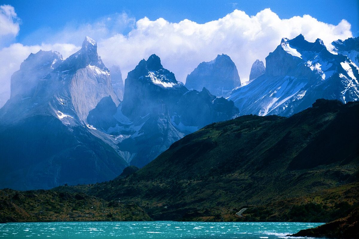
0 — 2 km Fig. 1 · Patagonia map showing southern Argentina and Chile divided by the Andes mountains · Photo: NASA ISS astronaut photo / Public domain via Wikimedia Commons
The first time you open a Patagonia map, it tends to do the opposite of what you hoped. Instead of clarity, you get a long thin smear of land at the bottom of South America, a jagged spine of mountains, two countries tangled along a wiggly border, and a scattering of names you half-recognize. El Calafate is here, Torres del Paine is over there, and the gap between them is bigger than it looks.
Let me fix that. This is a map-first explainer, not a pretty picture. By the end you will be able to look at any Patagonia map and actually read it.
Here is the short version. A Patagonia map makes sense once you find the Andes mountains running down the middle like a seam: Chile is the narrow strip on the west, Argentina is the wide land on the east, and almost everything you want to see sits near that seam. Find your gateway airport, find the national park near it, and measure the distance to the next one.
This guide is for anyone trying to build a mental map of Patagonia before they book anything: first-time visitors deciding where to fly, planners sketching a route, and travelers who keep losing track of which icon is in which country. If that is you, read on. We are also building a richer interactive map for this page; for now, the framework below does the heavy lifting.
Patagonia at a Glance: Zones, Gateways and Headline Sights
Before the detail, here is the whole region on one screen. Think of Patagonia as a stack of zones running north to south, each with its own gateway airport and signature sight. This single table is the backbone of everything else in this guide.
Zone (north to south)
Country
Main gateway airport
Headline sights
Lake District
Argentina
Bariloche (BRC)
Nahuel Huapi, Seven Lakes, lakes and forests
Lake District / Carretera Austral north
Chile
Puerto Montt (PMC)
Lakes, volcanoes, start of the Carretera Austral
Atlantic wildlife coast
Argentina
Trelew (REL)
Peninsula Valdes, whales, penguins
Aysen / central Carretera Austral
Chile
Balmaceda (BBA)
Coyhaique, Marble Caves, Patagonia National Park
Southern glacier country
Argentina
El Calafate (FTE)
Perito Moreno Glacier, El Chalten, Fitz Roy
Torres del Paine country
Chile
Punta Arenas (PUQ) / Puerto Natales (PNT)
Torres del Paine, fjords, Puerto Natales
Tierra del Fuego
Argentina
Ushuaia (USH)
End of the world, Beagle Channel, Antarctica
Swipe to see all columns
Table 1
If you remember only the structure of that table, you already understand Patagonia better than most first-time visitors. Everything below is detail hung on this frame. For the bigger planning picture, this article sits under our main Patagonia travel guide, and pairs naturally with the Patagonia itinerary planner.
How to Read a Patagonia Map: The Mental Model
Maps of Patagonia fail people not because they are wrong, but because nobody explains how to look at them. Here is the model I use, and once it clicks you will never be confused about which country owns what.
Find the Andes seam first
Start by finding the Andes. They run roughly north to south down the length of Patagonia, and they are the single most important line on the map. Everything else orients off that spine.
The mountains do more than look dramatic. They are the political and the weather divide. Wikipedia’s overview and Britannica both describe the Andes as the natural boundary between the two countries, with the Pacific Ocean to the west and the Atlantic to the east. The border between Chile and Argentina largely follows the high peaks, which is why it looks so wiggly on a Patagonia map. It is tracing watersheds, not drawing a straight political line.
Chile is west and thin, Argentina is east and wide
Once you have the seam, the countries sort themselves. Chile is the narrow western strip: a shredded coastline of fjords, islands, channels, ice fields and rainforest, squeezed between the Andes and the Pacific. Argentina is the broad eastern land: drier, flatter, the famous wind-scoured steppe rolling away toward the Atlantic.
That single fact explains a lot. Chilean Patagonia feels wet, green and broken up by water; you cross it on ferries as much as roads. Argentine Patagonia feels big, open and dry; you cross it on long straight highways like the legendary Ruta 40. If a place on the map is buried in fjords, it is Chile. If it sits alone in a sea of empty brown steppe, it is Argentina. For the full breakdown of how the two sides differ, see picking a country for your trip.
Read it in zones, north to south
Now stack the zones from the at-a-glance table onto your mental image. Roughly:
The north is lake-and-volcano country, around Bariloche on the Argentine side and Puerto Montt on the Chilean side.
The middle is the wild road-trip belt: Chile’s Carretera Austral through Aysen, and the Atlantic wildlife coast over on the Argentine side.
The south is the iconic core: Perito Moreno and Fitz Roy around El Calafate and El Chalten in Argentina, and Torres del Paine reached through Puerto Natales in Chile.
The far south is Tierra del Fuego, the big island split between both countries, with Ushuaia at the bottom.
Why everything is so far apart
The last piece of the model is scale, and it is the one that ruins itineraries. Patagonia is enormous. Britannica puts the region at well over 700,000 square kilometers; other definitions push past a million. It runs something like 1,000 miles top to bottom.
So when two icons look “close” on a map, check the distance before you trust your eyes. Bariloche and El Calafate look like neighbors at a glance and are roughly the distance of a different country apart. The route-distances table further down exists precisely to break this illusion. If you are still placing the whole region in your head, our where is Patagonia guide zooms out to the continent scale.
The Gateway Airports: Codes and What Each One Unlocks
Most Patagonia trips are really organized around airports, not towns. You fly into a regional hub, then drive or bus to the sights nearby. So the most useful thing a Patagonia map can show you is where the airports are and what each one puts within reach. Here is the gateway list, with codes, cross-checked against Australis’s airport guide.
First, the two international front doors. Nearly everyone arrives through Buenos Aires (Ezeiza, EZE, for international flights, plus the separate Aeroparque, AEP, for most domestic departures) or Santiago (SCL) in Chile. From there you connect south. Give yourself an overnight in the capital, and remember that in Buenos Aires the EZE-to-AEP transfer eats several hours.
Argentine Patagonia airports
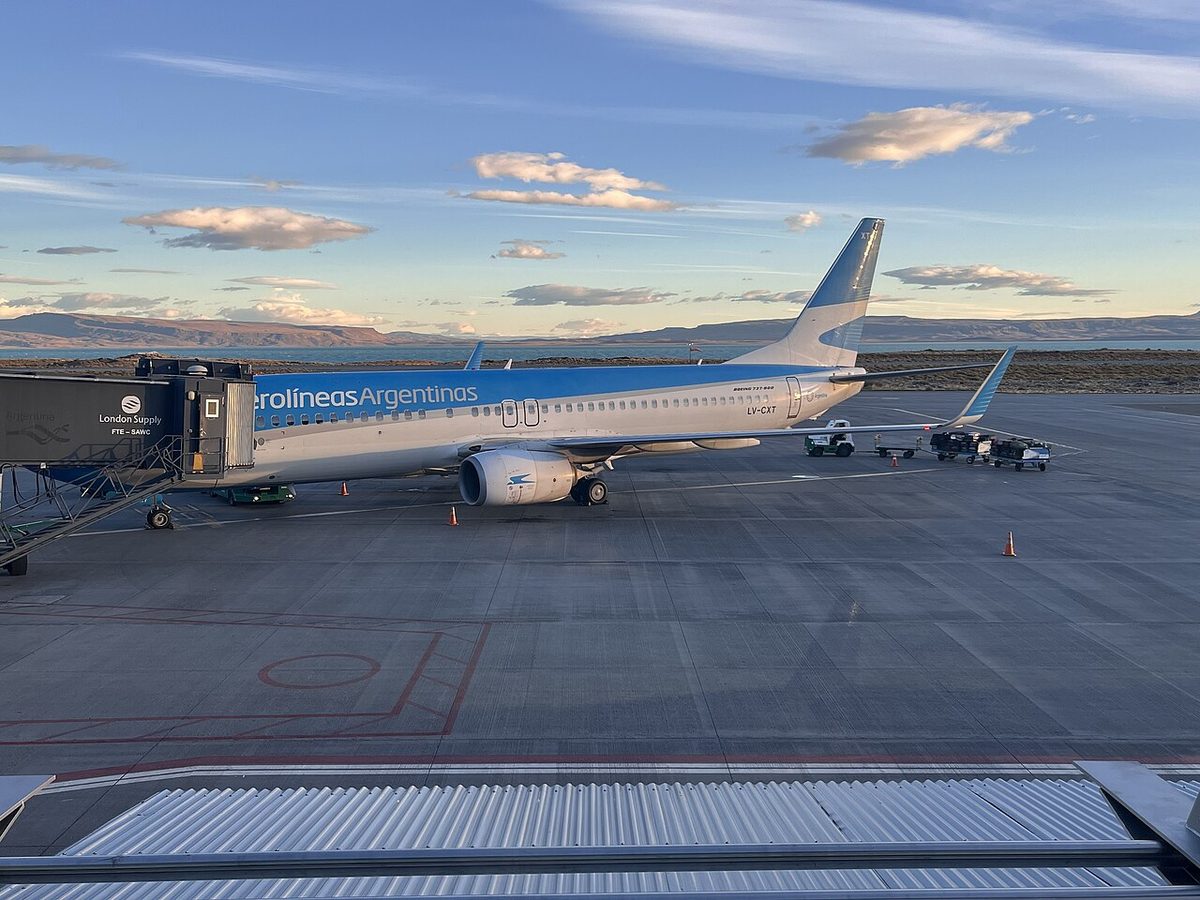
El Calafate (FTE). The workhorse of southern Argentina, around 3 hours 15 minutes from Buenos Aires with roughly six flights a day. Unlocks Perito Moreno Glacier and, about three hours north by road, El Chalten and Fitz Roy. If you only fly into one southern airport, this is usually it. See the rundown of glacier day trips.
Bariloche (BRC). Around 2 hours 20 minutes from Buenos Aires, about ten flights daily, plus some direct service from Santiago. Your door to the Lake District, Nahuel Huapi National Park and the Seven Lakes drive. More in the highlights around Bariloche.
Ushuaia (USH). About 3 hours 35 minutes from Buenos Aires, the world’s southernmost international airport. Unlocks Tierra del Fuego, the Beagle Channel and most Antarctica cruises. See the Ushuaia and Tierra del Fuego guide.
Trelew (REL). Roughly 2 hours from Buenos Aires. The access point for Peninsula Valdes and Puerto Madryn on the Atlantic wildlife coast.
Smaller Argentine hubs. Rio Gallegos (RGL) anchors the deep south steppe, Comodoro Rivadavia (CRD) serves the central coast and oil country, Neuquen (NQN) covers the northern gateway to wine and lake routes, and Esquel (EQS) reaches the Welsh valleys and Los Alerces National Park. You rarely build a first trip around these, but they fill gaps.
Chilean Patagonia airports
Punta Arenas (PUQ). About 3 hours 25 minutes from Santiago with around five flights a day, and the year-round hub for the Chilean far south. It is the practical gateway to Torres del Paine (via Puerto Natales) and the launch point for fjord and Cape Horn cruises.
Puerto Natales (PNT). Closest airport to Torres del Paine, but seasonal: expect only summer service, a couple of flights a week from Santiago. When it runs it saves hours; outside summer, plan on Punta Arenas. Both feed the guide to visiting Torres del Paine.
Puerto Montt (PMC). Around 1 hour 45 minutes from Santiago and very well connected. It sits at the northern edge of Patagonia and is the launchpad for the Lake District and the start of the Carretera Austral.
Balmaceda (BBA). About 2 hours 20 minutes from Santiago, around 55 kilometers from Coyhaique. This is your way into Aysen, the Marble Caves and the central Carretera Austral. Both PMC and BBA feed the explainer on Chile’s southern highway.
The cross-border catch
Here is the thing the map will not tell you: flying directly between Chilean and Argentine Patagonia is awkward. Those hops count as international flights, so they are limited and pricey. Most people either backtrack through Santiago or Buenos Aires, or cross overland by bus or car, which is often faster and cheaper for nearby pairs like Puerto Natales to El Calafate. Santiago to Bariloche is one of the few handy direct cross-border routes. For the full logistics of getting in and moving around, see how to get to Patagonia.
The Main Towns and Bases
Airports get you into a zone; towns are where you actually sleep, eat and stage day trips. On a Patagonia map, these are the names worth memorizing, roughly north to south.
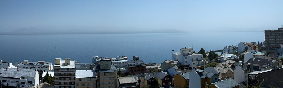
Bariloche (Argentina) is the big northern base: lakes, chocolate, hikes and a real town with infrastructure. Villa La Angostura and San Martin de los Andes extend it up the Seven Lakes route.
Puerto Madryn (Argentina) is the wildlife-coast base for Peninsula Valdes; Trelew is its airport town.
Coyhaique (Chile) is the hub of the central Carretera Austral, with smaller road-trip stops like Puerto Rio Tranquilo (Marble Caves), Puyuhuapi and Chaiten strung along Route 7.
El Calafate (Argentina) is the glacier base and the busiest southern hub; El Chalten, three hours north, is the trekking village under Fitz Roy.
Puerto Natales (Chile) is the gateway town to Torres del Paine, where almost every visitor stocks up before entering the park.
Punta Arenas (Chile) is the largest city of the far south and a major air and cruise hub.
Ushuaia (Argentina) is the end-of-the-world city on the Beagle Channel; Tolhuin and Rio Grande sit to the north on the island.
A planning note I repeat often: pick fewer bases and stay longer. Patagonia weather rewards patience, and a town like El Chalten is far more rewarding with three nights than one. For where to base yourself in detail, the main planning a first trip to Patagonia breaks down each town.
If airports are how you get in and towns are where you sleep, national parks are usually why you came. Here is where the big ones sit on the map and which gateway reaches each. Park access rules and seasons change, so confirm with the official park authority before you travel.
Los Glaciares National Park (Argentina)
This is the giant of the south: around 7,269 square kilometers, the largest national park in Argentina, in Santa Cruz province. It is really two destinations in one park. The southern sector holds Perito Moreno Glacier, reached from El Calafate. The northern sector is Fitz Roy and Cerro Torre, the trekking playground above El Chalten. See Argentina’s national parks page for Los Glaciares for current conditions, and our El Chalten trail guide.
Torres del Paine National Park (Chile)
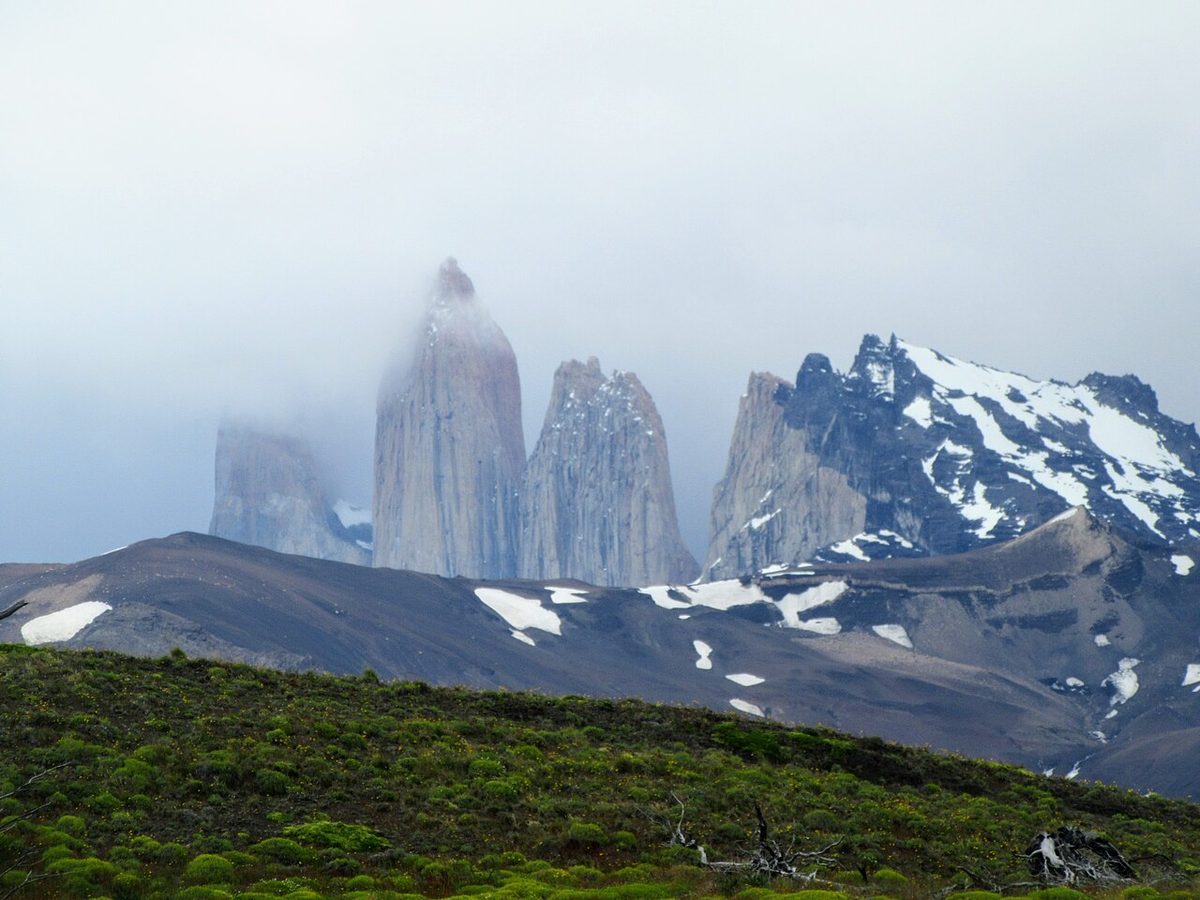
Patagonia’s poster park, around 1,814 square kilometers in Chile’s Magallanes region, just across the border southwest of Los Glaciares. It is the home of the W Trek and the O Circuit, and you stage it from Puerto Natales. Check CONAF’s official Torres del Paine page for tickets, notices and seasonal rules, then plan with the Torres del Paine trip planner.
Nahuel Huapi National Park (Argentina)
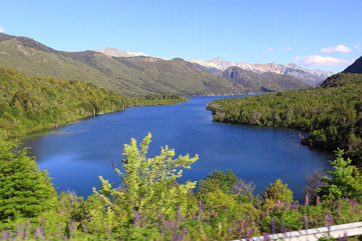
Argentina’s oldest national park, wrapped around Bariloche in the northern Lake District. This is the lakes-and-forest zone: day hikes, viewpoints, kayaking and skiing in winter. See Argentina’s Nahuel Huapi page.
Tierra del Fuego National Park (Argentina)
The far-south park beside Ushuaia, where the road and the continent run out. Forests, peat bogs, the Beagle Channel shoreline and the famous End of the World train. Details at Argentina’s Tierra del Fuego park page.
Not a mountain park at all but a UNESCO wildlife reserve on the Atlantic coast in Chubut, reached from Puerto Madryn and Trelew. Whales, penguins, sea lions and orcas, on a seasonal calendar.
Route Distances and Driving Times: The Table That Actually Helps
This is the part most Patagonia maps leave out, and the reason I built this page. A static map will not tell you that two towns are a five-hour bus ride apart, or that a “quick hop” between countries actually means a border crossing. The table below is the heart of this guide. Treat every figure as approximate, and always check current bus schedules and border hours before you commit, because they shift with season and operator.
Route
Approx. distance
Approx. time
Notes
El Calafate – El Chalten
~215 km
~3 hr (car or bus)
RN40, paved; Parador La Leona halfway
El Calafate – Puerto Natales
~270 km
~5–6 hr by bus
Crosses Argentina–Chile border (~1 hr)
Punta Arenas – Puerto Natales
~250 km
~3–3.5 hr by bus
RN9, year-round daily service
Puerto Natales – Torres del Paine (Laguna Amarga)
~110–150 km
~2–2.5 hr
Varies by park entrance; Serrano is nearer
Punta Arenas – Torres del Paine
~320 km
~5 hr total by bus
No direct route; transfer in Puerto Natales
Bariloche – San Martin de los Andes
~190 km
~3 hr (a full day with stops)
Seven Lakes route on RN40
Ushuaia – Tolhuin
~105 km
~1.5 hr
RN3, lakeside drive
Ushuaia – Rio Grande
~210 km
~3 hr
RN3 across Tierra del Fuego
Punta Arenas – Ushuaia
overland
~12 hr
Includes Strait of Magellan ferry; international
Puerto Montt – Coyhaique (Carretera Austral)
~610 km
multi-day
Route 7; ferries; do not rush it
Puerto Montt – Villa O’Higgins (full Carretera Austral)
~1,240 km
~29–35 hr driving
Northern half paved, south gravel; plan days, not hours
Swipe to see all columns
Table 2
A few things this table is quietly telling you.
The southern classic triangle (El Calafate, El Chalten, Puerto Natales, Torres del Paine) is genuinely connected. The legs are a few hours each, so you can build a real route by bus or car without flying between them. That is exactly why it is the go-to first trip in our Patagonia itinerary planner.
The Carretera Austral is a different animal. Those numbers are not “drive it in a day” numbers; they are “give it a week or two” numbers, with ferries and gravel built in, per Wikipedia’s Carretera Austral overview. Respect the scale or it will humble you.
And anything involving a border or a ferry needs slack. The El Calafate to Puerto Natales hop is straightforward but unpredictable; the Punta Arenas to Ushuaia run crosses a strait. Build buffer time. For the deeper road-trip and border mechanics, see how to get to Patagonia and Patagonia travel requirements.
Once the geography clicks, you will notice the map almost splits into two trips, and they suit different travelers.
Northern Patagonia is the Lake District: Bariloche, San Martin de los Andes and Villa La Angostura on the Argentine side, Puerto Montt and the start of the Carretera Austral on the Chilean side. It is greener, more forgiving, easier to reach, and strong in winter for skiing. Think lakes, chocolate, gentle hikes and scenic drives rather than extreme trekking. If your time is short or your group is mixed-ability, the north is underrated.
Southern Patagonia is the iconic core: Perito Moreno, Fitz Roy, Torres del Paine, the Magellan region and Tierra del Fuego. This is where the granite towers and blue ice live, where the wind is fiercest, and where most bucket-list photos come from. It demands more travel time and more weather patience, but it delivers the postcard.
On the map, the two are separated by a long stretch of Patagonia that most travelers fly over rather than through. That gap is exactly why you rarely combine the far north and the far south in one short trip without an internal flight. Pick the map that matches your trip, and read which side of Patagonia to visit alongside it.
Here is the payoff. Once you can read a Patagonia map, planning a route becomes a short, logical sequence instead of a guessing game. This is the exact order I work through.
Pick your zone, not your bucket list. Decide whether this is a southern-icons trip, a Lake District trip, a Carretera Austral road trip, or a wildlife-coast trip. The map makes it obvious you cannot do all four in ten days.
Choose the gateway airport for that zone. Use the at-a-glance table. Southern icons usually mean El Calafate or Punta Arenas; the north means Bariloche or Puerto Montt.
Anchor on the nearby park. Each gateway has a headline park. That park becomes the centre of gravity for your days.
Add the next place only if the distance allows. Pull up the route table. If the next stop is a few hours by bus, add it. If it is a border crossing plus a flight, think hard.
Leave buffer days where the map shows borders, ferries or exposed weather. Patagonia punishes tight connections.
A worked example: you want the southern icons in about two weeks. Fly into El Calafate (FTE), see Perito Moreno, bus three hours to El Chalten for Fitz Roy, return and cross roughly five to six hours to Puerto Natales, then run up to Torres del Paine. Every leg is on the route table, every distance is real, and you fly out of Punta Arenas (PUQ) or back via El Calafate. That is a map-built itinerary, and it is the most popular first trip in Patagonia for good reason. To avoid the classic over-packing trap, skim avoiding classic Patagonia planning errors before you lock it in.
Patagonia Map FAQ
What countries is Patagonia in?
Patagonia is shared by Argentina and Chile at the southern end of South America. It is not a country of its own and has no single official border. On a map, the Andes mountains run down the middle: Chile holds the narrow western strip of fjords and forest, while Argentina holds the wide eastern steppe.
Where do you fly into for Patagonia?
It depends on your zone. For the southern icons, fly into El Calafate (FTE) for Perito Moreno and El Chalten, or Punta Arenas (PUQ) for Torres del Paine. For the Lake District, use Bariloche (BRC). For Tierra del Fuego, fly to Ushuaia (USH). Nearly all connect through Buenos Aires or Santiago first.
How far is El Calafate from Torres del Paine?
There is no single road number, because you travel via Puerto Natales. El Calafate to Puerto Natales is around 270 kilometers and roughly five to six hours by bus, including the Argentina-Chile border crossing. Puerto Natales to the Torres del Paine entrance adds about two hours more, so plan most of a travel day.
Can you drive across Patagonia between Chile and Argentina?
Yes, and many people do, but the map hides border crossings and ferries. The popular El Calafate to Puerto Natales route crosses one land border. Driving the full length, or reaching Tierra del Fuego, can involve multiple crossings and a Strait of Magellan ferry. Cross-border car rentals also need special permits, so check requirements first.
How big is Patagonia?
Patagonia is huge. Depending on the definition, it covers somewhere between roughly 700,000 and over a million square kilometers, and runs about 1,000 miles from north to south. That scale is the single biggest reason itineraries go wrong: places that look close on a map can be a full travel day, or a flight, apart.
Is there an interactive map of Patagonia?
Several travel sites offer static maps and downloadable PDFs showing cities, parks, roads and airports, and Google Maps lets you drop pins yourself. We are building a richer interactive Patagonia map for this page. In the meantime, the at-a-glance table and route-distances table above are designed to give you the same orientation a good interactive map would.
Final Thoughts
The reason a Patagonia map feels intimidating is that it is doing too many jobs at once: it is a geography lesson, a flight planner and a distance calculator stacked on one image. Pull those apart and it gets simple fast.
Find the Andes seam. Put Chile on the west and Argentina on the east. Stack the zones north to south. Match each zone to its gateway airport and its headline park. Then, before you trust any sense of “that looks close,” go to the distance table and check the real number.
Do that, and the map stops being a wall of names and starts being a plan. You will know why El Calafate and Bariloche are not a day trip apart, why Torres del Paine runs through Puerto Natales, and why the Carretera Austral deserves its own separate vacation. That is the whole trick, and it is the foundation under every route in our Patagonia travel guide.