Patagonia Trekking Safety: Wind, Weather, Navigation and Emergency Planning
Patagonia trekking safety built on official sources: CONAF's closing times, the knee-height river rule, 143.800 MHz, rescue reality and a turn-around rule set.
By Patagonia Tourism Guide · First published 6 Oct 2026 · Updated 1 Aug 2026
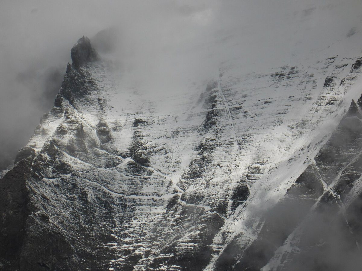
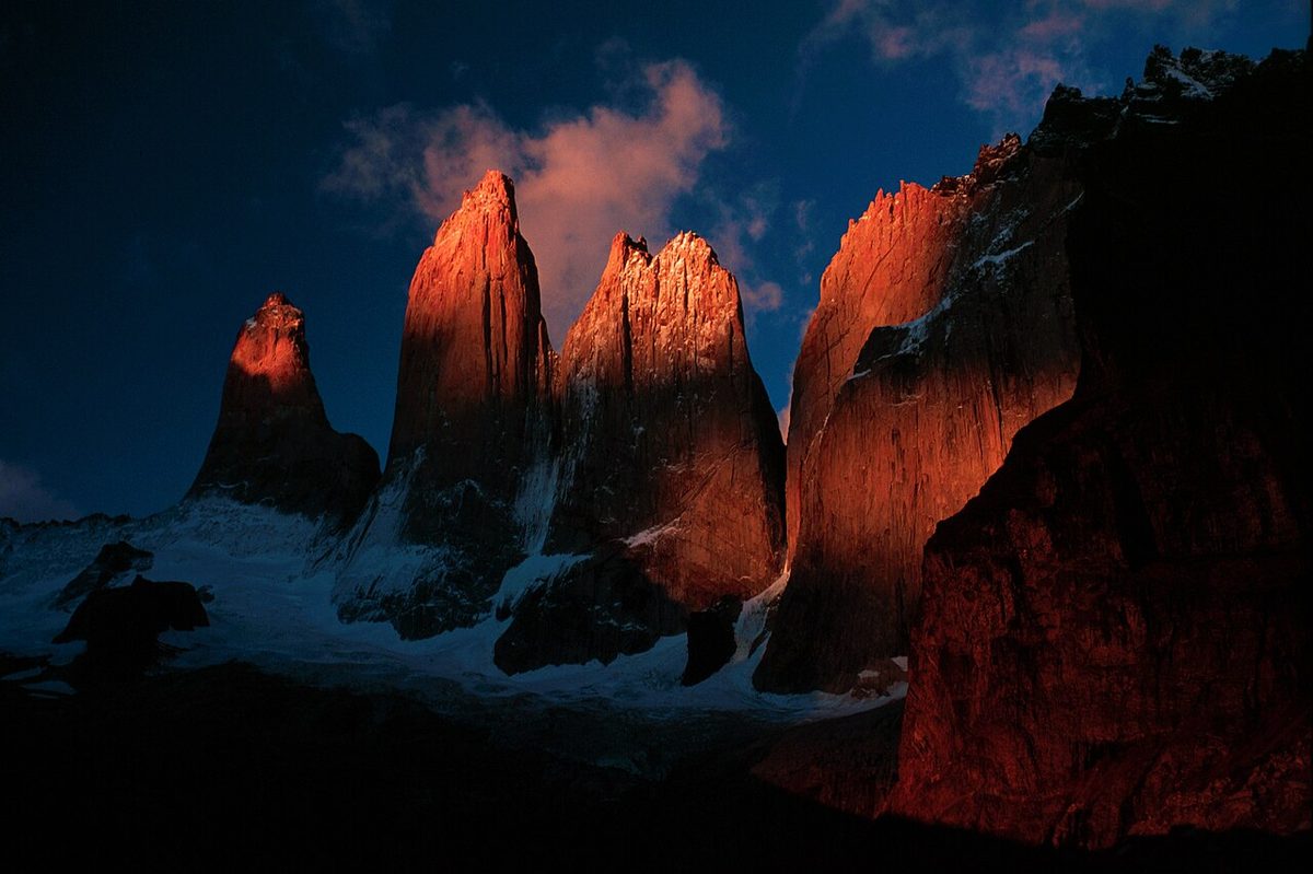
0 — 2 km Fig. 1 · Snow-covered Torres del Paine in winter, the conditions behind CONAF's guided-only rules and the core Patagonia trekking safety problem of cold and exposure · Photo: CARLOS TEIXIDOR CADENAS / CC BY-SA 4.0 via Wikimedia Commons
Patagonia trekking safety is not really about remoteness, and it is not about wildlife. It is about one repeatable accident: a forecast that under-reads the wind on an exposed pass, a committing section with no shelter, an afternoon arrival, wet clothing, and help that is hours to a day away. Every element of that is a planning problem, which means every element is solvable before you fly.
Six decisions do most of the work. Start early enough to clear exposed ground before the afternoon wind builds. Read the gust row on more than one model and treat it as a floor, not a ceiling. Set written turn-around triggers before you are cold and invested. Carry satellite or VHF communication, because there is no mobile signal inside Torres del Paine. Register at every ranger station and leave an overdue time with somebody who will act on it. And never cross water above knee height — CONAF’s published rule, not a judgement call.
This is the safety reference for our Patagonia hiking, camping, gear and safety guide. Everything load-bearing below is attributed — mostly to CONAF, Argentina’s Administración de Parques Nacionales and the Wilderness Medical Society. Where a repeated number has no traceable origin, we say so.
What actually kills people here
Not falls. Not pumas. Cold, on exposed ground, with no shelter and no way to call for help.
On 17 November 2025, five hikers died between Campamento Los Perros and the top of John Garner Pass — also spelled Gardner, roughly 1,200 m — on the Circuito Macizo Paine, the “O”. They were two Mexicans, two Germans and a British woman; we are not naming them, because published timelines mix victims with survivors. Chile’s Servicio Médico Legal found all five “fallecieron debido a una condición crítica de exposición prolongada a frío extremo” — prolonged exposure to extreme cold — with no injuries attributable to serious falls or direct impacts. Nobody fell. Five people walked into weather and stopped being able to keep themselves warm.
The day has a structure that repeats.
The forecast was light rain and winds up to 100 km/h. Gusts were subsequently reported at 193 km/h. Handle that figure carefully: no station, instrument or agency has been identified as its source, and its exact correspondence to a round 120 mph suggests a number in circulation, not a measurement. What is defensible is the shape of the error — roughly double the forecast, in the direction that kills.
Conditions deteriorated rapidly after 10:00, at a reported −5 °C, wind chill below −20 °C, visibility under three metres. In November, on a summer route.
No shelter between Los Perros and Paso. CONAF’s brochure allots that segment 8 km and 6 hours — the slowest kilometre-per-hour rate on the circuit.
The group was informal, around 30 people approaching the pass as a loose party formed through shared campsites, per Explorersweb; La Tercera reports 69 at Los Perros. Nobody’s job was to say stop.
The alarm came from the hikers, not the park, by a mechanism the accounts disagree on. Organised help took roughly 24 hours; helicopters were grounded until 19 November. Euronews reported no rangers in that sector and staffing roughly halved because many were off for Chile’s 16 November election — single-sourced figures.
Chile’s prosecutors were blunt. Magallanes Regional Prosecutor Cristián Crisosto, 3 December 2025: “las medidas de señalización y de seguridad en el sendero eran precarias”, and “respecto a la empresa privada como a Conaf uno puede constatar una precariedad.” His named legal hypothesis was incumplimiento de deberes de funcionarios públicos. As of 30 July 2026 we found no charges, no formalisation and no published final report — the investigation is open, and nothing here is a conclusion about individual responsibility.
Torres del Paine draws over 360,000 visitors in a typical season on one operator’s count, and one event is not a rate. Patagonia is not statistically lethal for people hiking inside the rules on good days. It is unusually intolerant of one combination: an exposed committing section, an afternoon, and clothing that has stopped working.
Wind is an operational hazard, not a weather detail
Treat wind the way a pilot treats a crosswind limit — a number that decides whether you go. Climatology is in Patagonia weather by month. Attribute every figure; never merge them.
Figure
Where and when
Source
Gusts reported at 193 km/h against a 100 km/h forecast
John Garner Pass, 17 Nov 2025
Reporting only; no instrument or agency identified
Gusts can exceed 100 km/h
John Gardner Pass, general
Reserva Las Torres (park concession)
20 km/h rising to gusts over 100 km/h
Torres del Paine
BigFoot Patagonia
Williwaws 110+ km/h; 80 km/h cancels ferries
Patagonia generally
Nomadic Samuel (experiential)
~40 km/h sustained or ~64 km/h gusts: heightened caution. ~56 km/h: walking destabilises
Guide practice
Connect Patagonia forecasting guide
Swipe to see all columns
Table 1
Those thresholds are guide practice, not a meteorological authority. The ferry figure gives you a check with no judgement in it: if the wind is strong enough to cancel a boat, it is strong enough to cancel your pass.
Why the afternoon is the dangerous part of the day. Daytime heating deepens and mixes the boundary layer, coupling stronger winds aloft down to the surface, so mornings are the calm window and the wind builds through the day — Reserva Las Torres’ own John Gardner guidance is to start very early. Then terrain: air forced through a col accelerates, and guides document the Grey lookout as a funnel where gusts often run around double the forecast. CONAF’s map even marks fuertes vientos as a hazard symbol in named sectors. Stack the two and the worst wind of the day occurs at the most exposed point on the route, at the time you are most likely to be standing there.
Why forecasts under-read ridges. Public models smooth a 1,200 m pass into a gentle rise, point forecasts are valley forecasts hundreds of metres below the col, and gust values are a statistical parameterisation rather than a measurement — so terrain funnelling is exactly the effect they cannot capture. Read the gust row, not the average, on more than one model; most local guides favour Windguru. If two models disagree materially on a committing day, treat the disagreement as the answer. Then override all of it with the ranger at the portería, who has eyes on the ground and the authority to close the trail. Your app has neither.
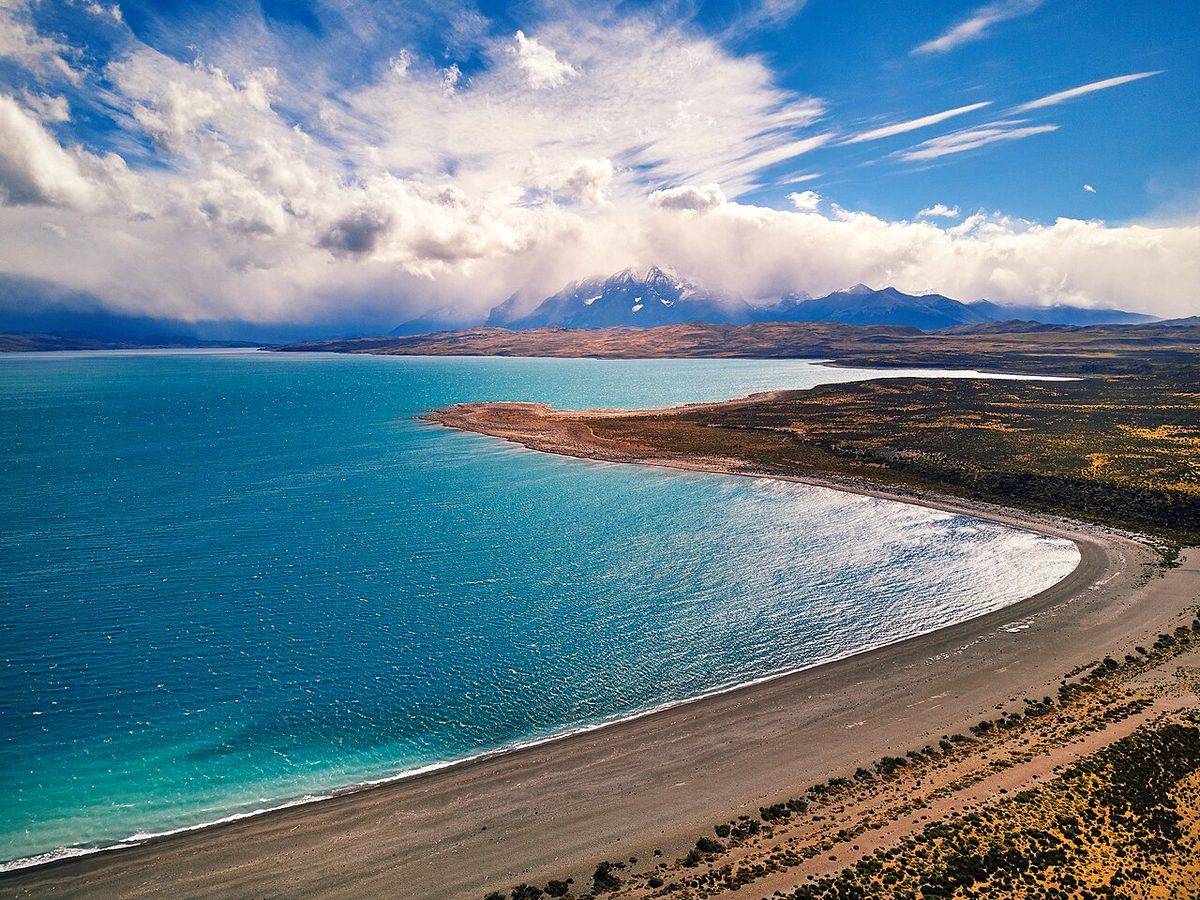
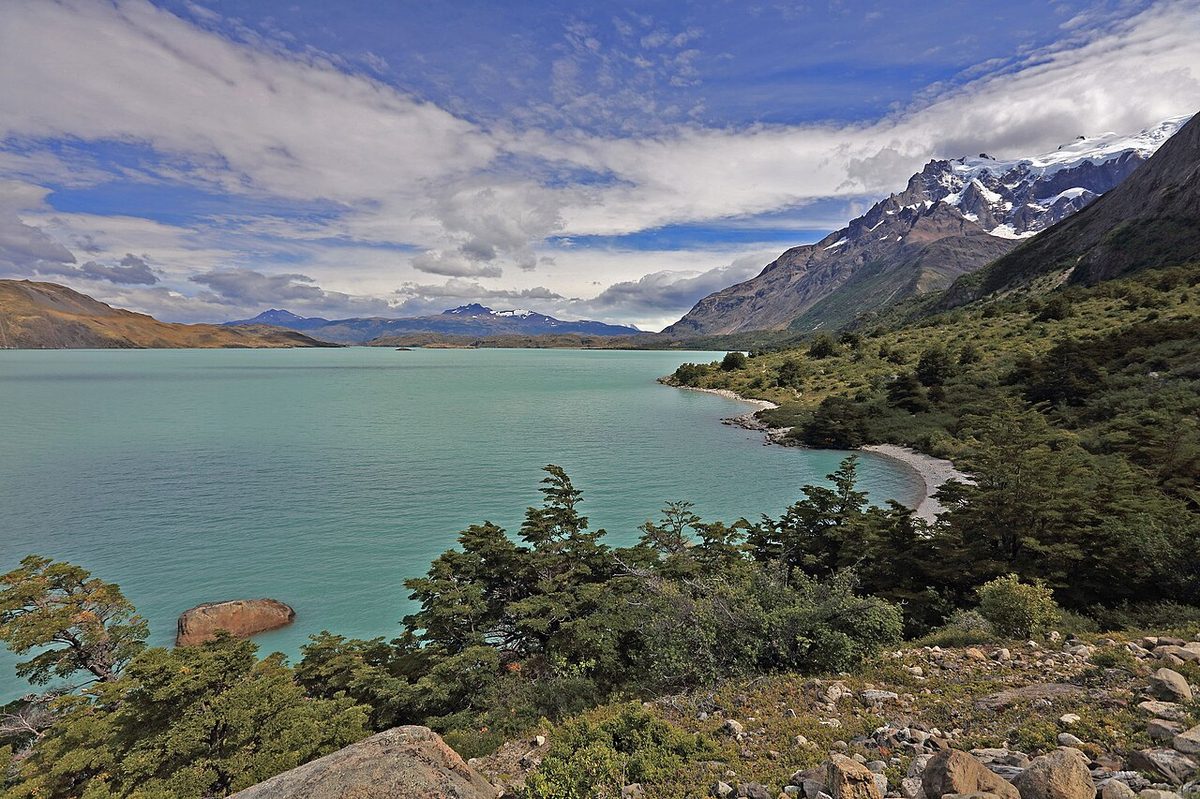
Fig. 2 · Wind streaking the surface of Lago Sarmiento in Torres del Paine, the open sector where Patagonian gusts build through the afternoon and destabilise walkingPhoto: Deensel / CC BY 2.0 via Wikimedia Commons
Hypothermia: why 5 °C and wet beats −10 °C and dry
People pack for temperature and are hurt by heat transfer. From the Wilderness Medical Society’s hypothermia guidelines and Princeton Outdoor Action: water conducts heat away from the body roughly 25 times faster than air, and wet clothing raises conductive loss around fivefold over dry. Convection scales with wind speed, so a shell that keeps you comfortable at 20 km/h is doing a fraction of that job at 90 km/h. A “mild” summer day on a Patagonian pass is a hypothermia environment.
Stage
Core temp
What you actually see
Mild
32–35 °C
Shivering, sometimes violently. Complex motor function goes first — zips, buckles, guylines. Can still self-care.
Moderate
28–32 °C
Consciousness clouds, speech slurs, judgement fails. Shivering stops around 30 °C.
Severe
Below 28 °C
Muscle rigidity; may appear dead. Handling itself becomes dangerous.
Swipe to see all columns
Table 2
WMS notes that someone shivering but able to care for themselves independently is unlikely to be hypothermic. The diagnostic moment is when self-care starts failing, not when someone says they are cold. Princeton’s field test survives contact with reality — the umbles: stumbles, mumbles, fumbles, grumbles. Make it a rule: on exposed sections, every member of the group checks one named partner’s umbles every 30 minutes. Self-assessment fails when judgement is the faculty being degraded.
The sequence, not a countdown. You will find blogs quoting a time-to-incapacitation for wet 5 °C plus high wind. We will not: it depends on body mass, insulation, wetness, exertion, food and hydration, and the familiar cold-water figures describe immersion, not wind. The sequence is defensible and more useful:
Getting wet is not the emergency. Getting wet and then stopping moving is the emergency. Walking uphill, you are a heat engine. The dangerous transitions all have the same shape: reaching the pass and stopping in the wind, waiting for a slower member of the group, sitting down to rest, being injured. Heat production collapses while heat loss continues at full rate. And dexterity fails before consciousness — so the window in which you can still put on your own insulation and pitch your own shelter closes before you feel unable to cope.
What to do, in order, per WMS. Get out of the wind first, because a wind barrier changes the convective loss rate immediately. Cut wet clothes off rather than removing them. Insulate, then wrap a vapour barrier around the insulation, because a sleeping bag alone over wet clothing keeps evaporating. Mild cases shiver themselves warm, lying down. Moderate and severe cases stay horizontal with minimal limb movement to avoid afterdrop and ventricular fibrillation, and never walk out.
The knee-height rule is a rule. CONAF’s trekking brochure: “No intente cruzar si el agua supera la altura de sus rodillas y evite caminar sin compañía.” Two things it does not say: time of day matters as much as depth, because meltwater rivers run highest in late afternoon, so a crossing that is calf-deep at 08:00 can be thigh-deep at 17:00; and some crossings are not fords — the Huemul Circuit has two Tyrolean traverses, which is why the ranger’s check demands a harness, an aluminium carabiner for the pulley, a steel carabiner as a backup on the cable, and around 20 m of rope.
Snow, and where crampons stop being advice. John Gardner Pass sits at roughly 1,200 m and is effectively closed April to September, with snow accumulation and avalanche risk; the descent towards Grey is described as more technical than the ascent and slippery when wet, arriving at the end of that six-hour committing section. CONAF adds that between the Grey and Paso stations there are two suspension bridges over 20 m high. In Chile’s 2026 winter window microcrampones and poles are mandatory and entry is refused without them; APN Los Glaciares states it flatly — “Es obligatorio el uso de bastones y crampones”, and “Está prohibido caminar y patinar sobre lagunas congeladas.”
Whiteout is a navigation emergency, not a visibility inconvenience. With no horizon there is no slope reference and no way to hold a line by eye. Hold contact in the group and agree hand signals in advance, because you cannot shout over 90 km/h of wind. Set your bearing before you lose visibility. The default decision in a whiteout on a pass is to descend the way you came. CONAF’s reasoning is on the record twice — the brochure’s “Casi todos los accidentes fatales en el parque se producen fuera de las rutas autorizadas”, and the park’s live page, more pointedly: “La mayoría de los accidentes fatales en el parque han ocurrido a personas que caminan solas y abandonan los senderos.” In a whiteout, leaving the trail is not a decision. It is what happens by accident.
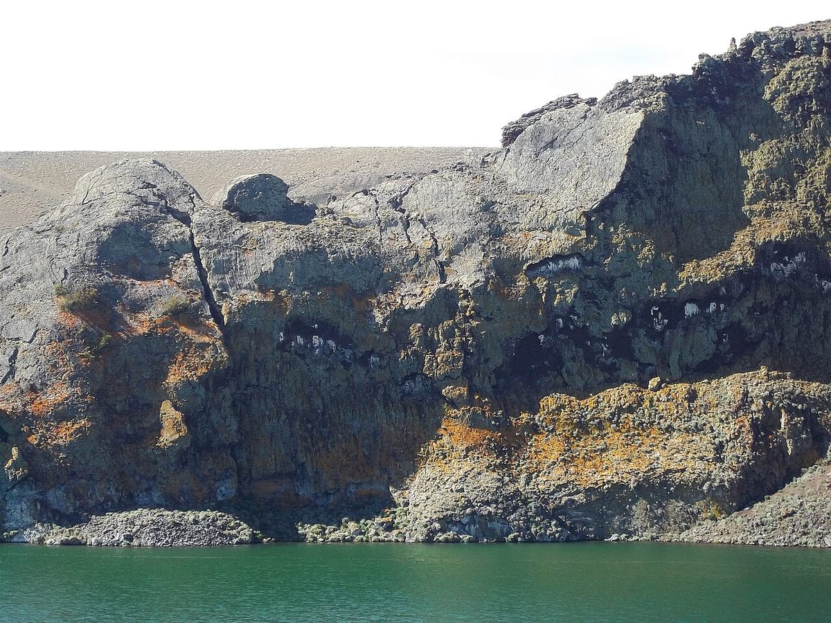
Fig. 3 · A cliff above a glacial lake in Argentine Patagonia, the kind of exposed ground where wind gusts decide the dayPhoto: Osarsan / CC0 via Wikimedia Commons
Navigation, and the limits of your phone
Genuinely well marked: the Torres del Paine W and main O sections, with numbered guarderías; El Chaltén’s red troncal, marked well enough that APN does not require registration for it in summer; and hiking senda costera to lapataia. Route-finding terrain: the Huemul Circuit, where trip reports call an offline map essential because much of the route is unmarked and the descent off Paso Huemul is badly eroded. And anything under snow, because marking is buried.
Download maps before you leave town; there is no usable data connection inside the park. Pre-place waypoints for campsites, water, the pass and above all your bail-out points — doing that at a kitchen table is a completely different cognitive task from doing it in a whiteout. Carry a paper map and compass; APN Nahuel Huapi’s carry list names mapa, brújula first.
The phone. Battery University puts most lithium-ion cells at roughly 50 % of performance at −20 °C, because cold raises internal resistance and lowers usable capacity. The failure mode people do not plan for is abrupt shutdown rather than gradual drain: a cold battery’s voltage sags under load, the phone reads the sag as empty and switches off, then appears to revive once warmed. We publish no percentage for that, having found none worth quoting. Keep the phone against your torso, airplane mode with GPS only, brightness down, power bank warm, and never charge below freezing. Carry a head torch with its own batteries, so your light source is not your navigation source is not your beacon.
Communication: 143.800 MHz and the pre-arranged silence
CONAF’s park page is precise: “Señal de telefonía celular: solo en Villa Monzino (Movistar)” — mobile signal only at the administration hub, on one network. Its brochure is blunter: “Al interior del parque no hay señal de celular.” Operators are softer, calling signal possible in some sectors; take the park authority’s version as your plan. APN Los Glaciares: “En algunos sectores la señal de celular es débil o nula.” APN Nahuel Huapi goes furthest: “En muchos sectores no hay señal. Previamente avisar a familiares/amigos que no habrá comunicación.”A national park is telling you to pre-arrange silence — because an unworried contact will not raise an alarm.
The strongest official fact here is a frequency. CONAF publishes on the park’s own page: “para emergencias dentro del parque la frecuencia radial es VHF.143.800 MHz”, and its 2026 special and climbing permits require “radio VHF programada con frecuencia 143.800 o teléfono satelital”. The park authority itself does not consider a mobile phone adequate backcountry communication. We will not invent a mandate for trekkers where none exists — but CONAF requires satellite or VHF comms of climbers, and trekkers on the same terrain in the same weather are choosing to go without it.
We could not find an official statement that refugios hold VHF radios, and will not imply one. Ranger stations are the communication nodes, campsite staff are not a guaranteed emergency relay, and in November 2025 the first alarm went out from the hikers themselves — survivors’ demands afterwards included daily weather updates and campsite movement logs, which tells you what did not exist.
So: leave a written itinerary with a named person, an agreed overdue time and instructions on who to call; carry a satellite messenger or PLB and practise triggering it wearing gloves, in wind, in the dark; and carry a whistle, which is on APN Nahuel Huapi’s official list and almost no blog’s.
Rescue: who comes, how long, and who pays
Chile. CONAF publishes its own estimated response times, sobering because they are for road-accessible incidents: ambulance from park administration up to 30 minutes, from Villa Cerro Castillo about 1.5 hours, from Puerto Natales hospital about 2 hours. Then it says the thing that belongs above your packing pile:
“Ante una emergencia en la montaña la ayuda puede demorar varias horas en llegar.”
Off the road, expect stretcher or horseback evacuation to a vehicle, then three or more hours to Puerto Natales. Helicopters are not the answer here — they frequently cannot enter the park because of high winds and the distance from Punta Arenas, and in November 2025 they were grounded until two days after the storm. Which gives you the hardest sentence in Patagonian mountain safety: the weather that causes the emergency is the weather that prevents the rescue. In November 2025 the first responders were the other hikers.
Argentina is genuinely different and far less redundant than visitors assume. In El Chaltén the front-line body is the Comisión de Auxilio de El Chaltén (CAX) — a volunteer organisation — working with APN, Gendarmería Nacional and the Army. In March 2024 the CAX suspended all participation in rescues, fires and emergencies in protest after APN failed to renew contracts for its own brigade personnel, leaving the park without brigadistas. Trails later reopened and the CAX reactivated — but set that against any brochure line about well-managed trails.
Helicopter rescue there is excellent when it flies, and it comes a long way. Over 1–3 January 2026 El Chaltén ran a cluster of four incidents on the Laguna de los Tres trail, the region’s most popular day hike, one of them fatal — a 69-year-old trekker died of cardiac arrest near Río Blanco despite more than 40 minutes of CPR. The Army’s UH-1H cut evacuation from hours to minutes, having flown roughly 500 km from Río Gallegos. That is the rescue picture for the whole El Chaltén and Fitz Roy network.
Who pays. Argentine authorities used that cluster to stress that climbers must register and carry obligatory insurance, because rescue costs fall on the state when participants are uninsured. CONAF’s climbing permits require accident insurance plus a commitment letter from the Cuerpo de Socorro Andino. Two park authorities independently require proof of rescue cover — a better argument than any sales page. Check four things, then see what your policy needs to cover: trekking cover to the grade you will reach; helicopter evacuation and search-and-rescue named explicitly; no exclusion for unguided activity; and validity in both countries.
CONAF explains the closing times itself: they exist “para evitar que la noche sorprenda a los/las visitantes antes de llegar al siguiente campamento”, and only the sector ranger can authorise walking outside them. Night hiking is prohibited outright — “Está prohibido caminar por los senderos sin luz de día” — because of getting lost, falling and puma activity. Registration is mandatory at every ranger station, with exit registration at Paso and Perros: “debe registrar la salida por su propia seguridad.” Those are the two stations bracketing the exposed pass, so read it as the park telling you where people go missing.
The table is reproduced from CONAF’s brochure Consideraciones de seguridad para caminantes, 2022–23 edition; the headings are CONAF’s own.
Segment (CONAF’s wording)
Km
Hrs*
Estival (summer)**
Invierno (winter)
Gdía. Paine Grande – Gdía. Italiano
7.5
2.5
14:00
14:00
Gdía. Italiano – Mirador Británico
5.4
3.0
14:00
14:00
Refugio Chileno – Gdía. Torres
3
1.5
14:00
11:00
Gdía. Torres – Mirador Base Torres
1.4
1
15:30
12:30
Mirador Base Torres (the viewpoint itself)
—
—
16:00
15:00
Área de acampar Serón – Gdía. Dickson
18
6
12:00
10:00
Gdía. Dickson – Gdía. Los Perros
11.8
4.5
14:00
12:00
Gdía. Los Perros – Gdía. Paso
8
6
none published
none published
Gdía. Paso – Gdía. Grey
7
5
07:00
11:00
Gdía. Grey – Gdía. Paine Grande
11
3.5
15:00
12:00
Swipe to see all columns
Table 3
* Times are indicative, and **“los guardaparques se reservan el derecho de restringir el tránsito conforme a las condiciones climáticas.” Summer trails open at 6 AM.
For Los Perros–Paso CONAF publishes no time. The most committing segment on the circuit is the one with no published closure.
One row does not read as a closure: Paso–Grey at 07:00 summer against 11:00 winter reads more like a latest departure. We reproduce it as printed; confirm it with the ranger.
CONAF also publishes daylight hours, which your turn-around times must fit inside:
Month
J
F
M
A
M
J
J
A
S
O
N
D
Hours of daylight
17
15
13
11
10
9
9
10
12
14
16
18
Swipe to see all columns
Table 4
Nine hours in June and July, with night hiking prohibited, is why the winter columns exist — see best time to hike Patagonia.
Argentine registration is narrower than people assume. APN Los Glaciares requires it for climbing, remote areas and the trails from May to September; in El Chaltén only travesías need it, not the red troncal day hikes in summer. The digital form records the equipment you are carrying — “los elementos con los que cuenta” — so rescuers know what you have. The Huemul Circuit carries the strictest permit, with a ranger gear check and search and rescue triggered if you fail to return within 48 hours — the honest measure of how long you might be lying there. APN Nahuel Huapi makes trekking registration “obligatorio y gratuito” and binding on your declared itinerary; see Bariloche hiking. Registration is how somebody notices you are missing, so do it — and separately leave that overdue time with someone who will act on it.
The rules that carry an enforcement mechanism, as of 30 July 2026
Most pages say “guides are required in winter.” The useful version names the consequence.
Rule
Where and when
Enforcement
Authorised guide mandatory on Base Torres and the W
Torres del Paine, 27 Apr – 30 Aug 2026
Entry refused at the portería
Microcrampones, poles, head torch + technical cold and waterproof clothing
Same window
“El ingreso será denegado a guías o prestadores que no cumplan con lo exigido por el reglamento o la Norma Chilena NCh 2985 Of2006“
Maximum entry: Base Torres 09:00, W 10:00; guide ratios 1:4 trekking, 1:10senderismo
Winter 2026, June 2026 regulation
Ranger-enforced; guides need Sernatur registration and municipal accreditation
W closed 1 Jun – 31 Jul 2026; O closed initially to 31 Oct 2026; summer regime resumes 1 Sept 2026
Torres del Paine
Exceptional W authorisation via CONAF Magallanes and an accredited operator
No heat source of any kind; fines to CLP 2,000,000 or three years, Ley 20.653 art. 22
Torres del Paine
Offenders handed to Carabineros; expulsion possible for foreigners
VHF on 143.800 MHz or satellite phone, insurance, Socorro Andino letter
CONAF special/climbing permits 2026
Permit refused
Swimming prohibited in every body of water (immersion asphyxia risk)
Torres del Paine
Expulsion
Swipe to see all columns
Table 5
Note the currency: CONAF’s “$2.000.000” is Chilean pesos, roughly USD 2,000 as of July 2026, not USD 2 million. The winter dates are set annually by notice, the written regulation calling its own 1 May – 30 August window “referencial” — so re-check conaf.cl, parquetorresdelpaine.cl and pasesparques.cl in the week you travel. Context: Hiking the park between may and September, Torres del Paine tickets.
From 1 January 2026 CONAF lifted the emergency guide requirement on the O and replaced it with a Protocolo de Operación de Senderos de Montaña, built on a Sistema de Alerta Temprana with “umbrales técnicos predefinidos para variables climáticas críticas (viento, precipitación, temperatura)”, formal information flow with SENAPRED and the Dirección Meteorológica de Chile, and proactive preventive closures. CONAF has not published the thresholds and we will not guess them.
It fires. On 24 March 2026 CONAF closed the Base Torres trail until 25 March for landslide and rockfall risk, and the Perros–Paso section of the John Garner trail for that Wednesday on the wind and precipitation forecast. The cited inputs: a SENAPREDAlerta Temprana Preventiva for Última Esperanza forecasting “cielos cubiertos, caída de nieve y ventiscas”; a DMC warning of 23 March; and a SERNAGEOMIN minute on mass-movement risk. A dated preventive closure on the section where five people died four months earlier. When a ranger tells you no, that is this system working.
Solo hiking: what three park authorities actually say
You do not have to take our word for it.
CONAF, Torres del Paine:“Camina acompañado, exclusivamente por senderos habilitados”, and in the river rule “evite caminar sin compañía.” Cycling is permitted only on vehicle roads and only with a companion, because of puma risk.
APN, Los Glaciares:“Salí siempre acompañado/a.”
APN Nahuel Huapi, twice: “Es mejor salir siempre con alguien y no individualmente” and “Caminar en grupo y no de manera aislada.”
The strongest reason is medical, not moral: hypothermia degrades judgement before consciousness, so the umbles are something another person sees, and alone the faculty that would notice is the faculty being impaired. After that: no signal means no self-rescue by phone; committing sections have no bail-out; a twisted ankle at 56 km/h on a moraine is not a walk-out; and rescue is grounded by exactly the conditions that hurt you.
Specifically bad ideas: the John Garner Pass section of the O; the Huemul Circuit; CONAF’s restricted permit routes; anything on snow; and off-trail anywhere. Where solo is defensible, said honestly: the El Chaltén red troncal day hikes in summer, on a good forecast, with an early start, a told friend, full kit and a turn-around time. The fuller decision is in where self-guided hiking works and Patagonia solo travel; the best day hikes in Patagonia flags which are exposed.
The turn-around framework: Patagonia trekking safety in seven triggers
Competing pages say “use good judgement.” The problem is structural: the decision has to be made before the conditions that make it hard to decide. So write these down at breakfast, out loud, as a group.
Time. A hard turn-around time per segment, from CONAF’s horarios minus your own margin, checked against the daylight hours above. The clock decides, not the summit.
Wind. Above roughly 40 km/h sustained or 64 km/h gusts, reconsider exposed objectives. Around 56 km/h walking destabilises — do not commit to a pass or moraine. At 80 km/h the ferries stop; treat high ground as closed.
Wet. If insulating layers are wetting through and you have a stop or a climb ahead, turn. Wet plus stopped is the mechanism.
Visibility. If you cannot see the next marker or the far side of the col, descend the way you came.
Water. Above the knee, do not cross. CONAF’s rule.
People. The first umble in any group member ends the objective. No vote.
Forecast spread. If two models disagree materially about gusts on a committing day, the disagreement is the answer.
Three things make the list work. Set the triggers before you are invested, because decision quality collapses exactly when you need it, and it collapses quietly. Name a decision-maker, because informal groups have nobody whose job it is to say stop. And ask the ranger and accept the answer — a closed trail is the system doing what it was rebuilt to do. Normalise turning around, so the person who says it first pays no social cost.
The group’s own conclusion after November 2025 was that nobody should have been allowed, let alone encouraged, to attempt the pass that day. The system has been rebuilt so that decision is now made for you more often. Until it is, it is yours.
Book every night where required, because an unbooked night in Torres del Paine becomes a forced march — see W Trek refugios. Check whether your dates fall in a guided-only or closed window; the O Circuit and Base Torres pages carry the seasonal rules. Download offline maps, complete any registration, and lay kit out against the W Trek packing list. Camp practice is in where to pitch a tent legally and trail etiquette. And learn CONAF’s counter-intuitive puma line: “no corra y retroceda lentamente mirándolo a los ojos” — do not run, back away slowly, look bigger, lift children.
Frequently asked questions
Is Patagonia safe to hike?
For the overwhelming majority of visitors on marked trails in reasonable conditions, yes. The risk is concentrated, not diffuse: exposed high sections, afternoons, bad weather, and going alone or off-trail. CONAF states that most fatal accidents in Torres del Paine have happened to people walking alone and leaving the trails. Hike inside the rules, on good days, with a turn-around plan, and the risk is real but narrow.
Do I need a guide in Torres del Paine right now?
Within the 2026 winter window of 27 April to 30 August, CONAF requires an accredited specialised guide on the Base Torres trail and the W circuit, with maximum entry times of 09:00 and 10:00. The W is separately closed 1 June to 31 July 2026, so its guide rule bites only in May and August. The O’s guide mandate was lifted on 1 January 2026, and the O is closed until at least 31 October 2026. Dates move by CONAF notice — verify on conaf.cl.
How long does mountain rescue take in Patagonia?
Longer than most visitors expect. CONAF’s own estimates for road-accessible incidents are up to 30 minutes for an ambulance from park administration, about 1.5 hours from Cerro Castillo and about 2 hours from Puerto Natales. Off the road, expect stretcher or horseback evacuation then hours of driving, and CONAF states outright that help can take several hours. Helicopters are frequently grounded by the wind that caused the emergency.
Can I hike the O Circuit solo?
Legally yes, when it is open — the guide requirement was lifted on 1 January 2026, subject to the park’s registration and safety rules. Whether you should is a different question. CONAF’s own advice is “camina acompañado”, exit registration is required at Paso and Perros precisely because that is where people go missing, and Los Perros to Paso is 8 km and 6 hours with no shelter. Alone, nobody is checking your umbles.
Sources
CONAF — Parque Nacional Torres del Paine (live notices checked 30 July 2026; ambulance response estimates; “la ayuda puede demorar varias horas en llegar”; VHF 143.800 MHz; mobile signal only at Villa Monzino; “camina acompañado”; fatal-accident wording; Ley 20.653; avian influenza alert)
CONAF / PNTP — Consideraciones de seguridad para caminantes, trekking brochure 2022–23 (horarios de cierre table and footnotes; hours of daylight; knee-height river rule; registration and Paso/Perros sign-out; no walking without daylight; puma protocol; swimming ban; suspension bridges between Grey and Paso; fire and litter law)
Wind streaking the surface of Lago Sarmiento in Torres del Paine, the open sector where Patagonian gusts build through the afternoon and destabilise walking — Deensel / CC BY 2.0 via Wikimedia Commons
A cliff above a glacial lake in Argentine Patagonia, the kind of exposed ground where wind gusts decide the day — Osarsan / CC0 via Wikimedia Commons